Persia
The first empire to run three continents on paperwork and roads.
- Span
- c. 550 – 330 BCE
- Now
- Iran and twenty-odd modern states
- Coordinates
- 29.94° N, 52.89° E
- Palette
- Turquoise · stone · imperial gold
Geography first. Everything else is a response to it.
The Achaemenid empire, Indus to Aegean
Iran and twenty-odd modern states
Karun · Persian Gulf · Qanat networks
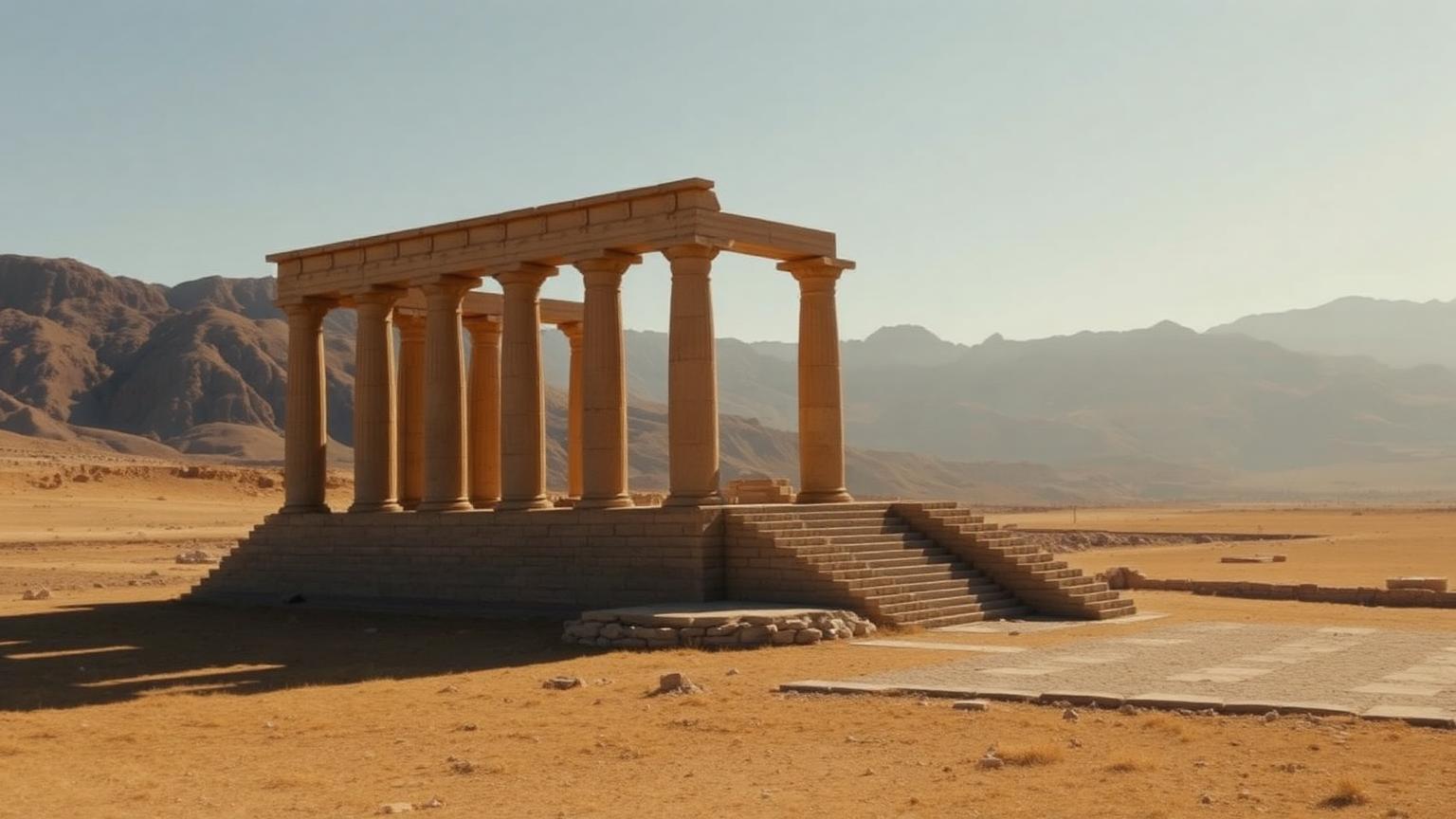
Persepolis · Susa · Pasargadae · Ecbatana
A high plateau with qanat irrigation, ringed by mountains, sitting between Mesopotamia, Central Asia and India — a natural hub once you can move messages fast.
Qanats — gently sloping underground channels — moved mountain groundwater to fields without evaporation loss. Some are still in use.
The Royal Road ran roughly 2,700 km with staged remounts; Herodotus says a message crossed it in about a week, and the archaeology of way-stations supports a relay system.
The Achaemenid empire, known both from its own inscriptions and from hostile Greek accounts.
The civilization at a glance
Ancient population and army figures are estimates. Anything marked est. is a reconstruction, not a count.
What they built, and how it worked
Royal Road
Persepolis fortification tablets
Satrapy administration
How we know what we claim
Editorial confidence ratings, not measurements. They describe how much of the picture rests on each channel — and where a single new find could move the file.
This rating governs the whole hub. Any claim on this page that outruns it is labeled where it appears.
- How large were Persian armies really?
- How centralized was imperial taxation?
Where the evidence stops
- The Persepolis Fortification Archive documents rations, travel authorizations and labor — administrative reality, not propaganda.
- Behistun is trilingual and was the key to reading cuneiform.
- Greek figures for Persian armies are inflated by an order of magnitude; logistics caps them far lower.
- How centralized taxation actually was across satrapies.
- Zoroastrianism's exact status as state religion.
Who else was alive
Iranian Plateau · 550 BCE – 330 BCE. Bars below show civilizations alive at the same moment.
Where Persia connects to the rest of the ancient record — the worlds it belongs to, the chapters it sits in, the documents that record it, and the questions still open.
Deep Time
All deep time →Primary Sources
All primary sources →
One more civilization
Same moment in history, different world. Keep going.