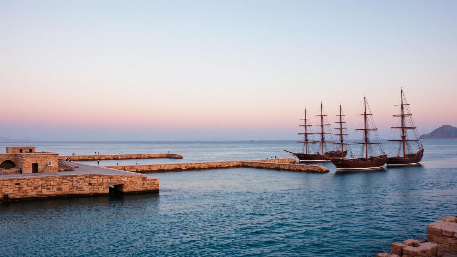
Phoenicia
Not a state — a network. It exported the alphabet almost as a side effect.
- Span
- c. 1500 – 300 BCE
- Now
- Lebanon, coastal Syria and Israel
- Coordinates
- 33.27° N, 35.20° E
- Palette
- Tyrian purple · cedar · sea
Geography first. Everything else is a response to it.
Independent coastal city-states
Lebanon, coastal Syria and Israel
Eastern Mediterranean
Tyre · Sidon · Byblos · Berytus
A narrow coastal shelf with cedar forests behind it and deep anchorages in front. Farming land was limited; the sea was not.
Cedar was the export that funded everything else — Egyptian and Mesopotamian building projects both bought it.
Murex shell middens near Tyre and Sidon mark the purple-dye industry that gave the culture its Greek name.
A maritime trading network rather than a unified state, best known for spreading the alphabet.
The civilization at a glance
Ancient population and army figures are estimates. Anything marked est. is a reconstruction, not a count.
What they built, and how it worked
Tyre and Sidon
Alphabetic script
Mediterranean colonies
How we know what we claim
Editorial confidence ratings, not measurements. They describe how much of the picture rests on each channel — and where a single new find could move the file.
This rating governs the whole hub. Any claim on this page that outruns it is labeled where it appears.
- How far west did regular voyages reach?
- How did city-states coordinate, if at all?
Where the evidence stops
- The Greek, Latin and most modern European alphabets descend from this script.
- Wrecks off Israel and Spain confirm regular long-haul cargo routes.
- Colonies were commercial footholds rather than a coordinated imperial program.
- Whether a circumnavigation of Africa occurred as Herodotus reports.
- How the cities coordinated, if at all.
Who else was alive
Levantine coast · 1,500 BCE – 300 BCE. Bars below show civilizations alive at the same moment.
Where Phoenicia connects to the rest of the ancient record — the worlds it belongs to, the chapters it sits in, the documents that record it, and the questions still open.
Deep Time
All deep time →Evidence Files
All evidence files →Sea Peoples
Eastern Mediterranean · c. 1200 – 1150 BCE
Who were the Sea Peoples, and were they a cause of collapse or a symptom of it?
Open question inside Phoenicia
Bronze Age Collapse
Eastern Mediterranean · c. 1200 – 1150 BCE
Why did an interconnected system of empires fail within roughly fifty years?
Open question inside Phoenicia
One more civilization
Same moment in history, different world. Keep going.