Rapa Nui
The most isolated inhabited place on earth, and the most misread society in popular history.
- Span
- c. 1200 – 1722 CE
- Now
- Easter Island, Chile
- Coordinates
- 27.12° S, 109.37° W
- Palette
- Pacific blue · volcanic charcoal
Geography first. Everything else is a response to it.
Rapa Nui, settled by Polynesian voyagers
Easter Island, Chile
South Pacific Ocean
Anakena · Orongo · Rano Raraku quarry
It was reached, not chosen. Polynesian navigators crossed roughly 2,000 km of open ocean from the nearest inhabited island — and then the world got very small.
The island is volcanic, treeless today, and has no permanent streams; fresh water comes from crater lakes and coastal seeps.
Palm forest loss is documented in pollen cores. Rat predation on palm seeds is now considered a major driver alongside human clearance.
Rock gardens (manavai and lithic mulching) covered a substantial share of the island — an agricultural adaptation, not a sign of desperation.
The most isolated inhabited island on earth, and the most misreported society in popular history.
The civilization at a glance
Ancient population and army figures are estimates. Anything marked est. is a reconstruction, not a count.
What they built, and how it worked
Moai transport experiments
Rock-garden horticulture
Rongorongo
How we know what we claim
Editorial confidence ratings, not measurements. They describe how much of the picture rests on each channel — and where a single new find could move the file.
This rating governs the whole hub. Any claim on this page that outruns it is labeled where it appears.
- How were the moai actually moved?
- Is rongorongo writing, or a post-contact invention?
Where the evidence stops
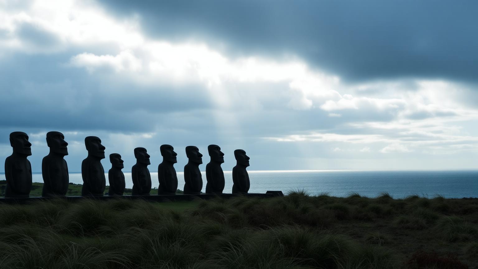
- Moai were carved at Rano Raraku and moved several kilometers; experiments have walked replicas upright with ropes.
- The population crash is firmly associated with post-contact disease and the 1862–63 Peruvian slave raids.
- Rapa Nui people are still here. The society did not disappear.
- Deforestation was gradual and rat-assisted, and the society adapted to it rather than collapsing from it.
- Pre-contact population was far lower than the 'ecocide' narrative requires.
- Whether rongorongo is true writing or a post-contact invention.
- Exact settlement date, though radiocarbon has narrowed it considerably.
Who else was alive
Southeastern Pacific · 1,200 CE – 1,722 CE. Bars below show civilizations alive at the same moment.
Where Rapa Nui connects to the rest of the ancient record — the worlds it belongs to, the chapters it sits in, the documents that record it, and the questions still open.
Deep Time
All deep time →
One more civilization
Same moment in history, different world. Keep going.