Maya
Astronomy, a fully readable script, and cities that fed millions on karst.
- Span
- c. 2000 BCE – 1500 CE
- Now
- Guatemala, Belize, southern Mexico, Honduras
- Coordinates
- 17.22° N, 89.62° W
- Palette
- Jungle green · limestone · jade
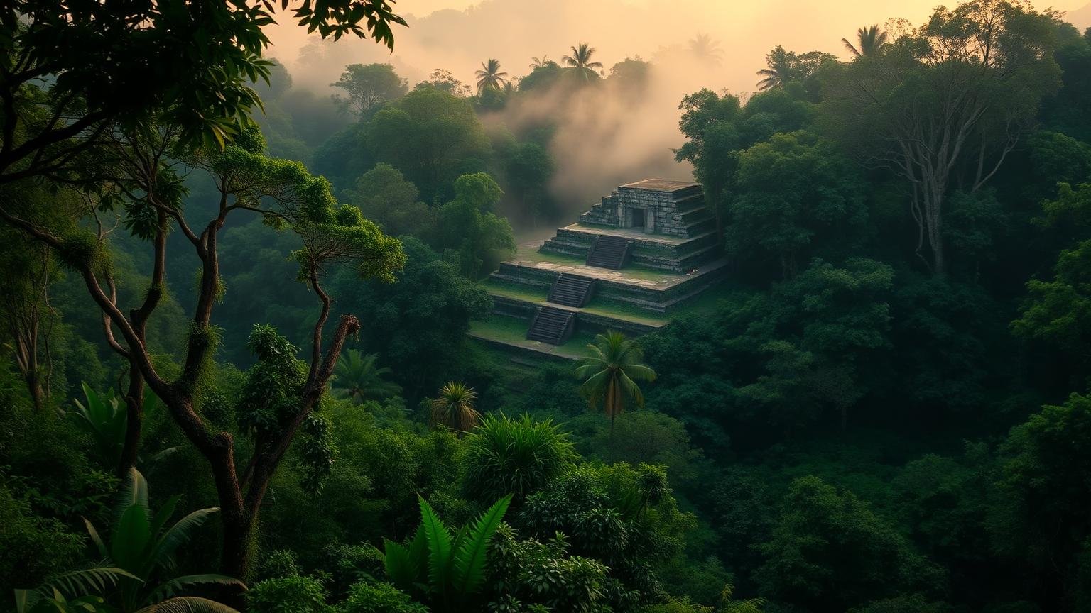
Geography first. Everything else is a response to it.
Lowland and highland Maya polities
Guatemala, Belize, southern Mexico, Honduras
Usumacinta · Karst aquifers · Cenotes
Tikal · Calakmul · Palenque · Copán · Caracol
A limestone shelf with no surface rivers over much of it. Water had to be captured and stored, so cities were built around engineered reservoirs.
LiDAR surveys since 2018 have exposed causeways, terraces and settlement density under canopy that ground survey could never have mapped — the population estimates went up sharply as a result.
Tikal's reservoirs were sealed and filtered; recent work has identified zeolite filtration in at least one of them.
Drought sequences reconstructed from lake sediment and speleothems overlap with the ninth-century political collapse in the southern lowlands.
A civilization we can now read directly, thanks to one of the great decipherments of the 20th century.
The civilization at a glance
Ancient population and army figures are estimates. Anything marked est. is a reconstruction, not a count.
What they built, and how it worked
Long Count calendar
Glyph decipherment
LiDAR site surveys
How we know what we claim
Editorial confidence ratings, not measurements. They describe how much of the picture rests on each channel — and where a single new find could move the file.
This rating governs the whole hub. Any claim on this page that outruns it is labeled where it appears.
- What weight does drought carry in the Classic collapse?
- How dense were lowland populations?
Where the evidence stops
- The script is readable; dynastic histories with exact dates can be reconstructed from monuments.
- The Long Count calendar correlates to the Julian day count with high precision.
- Maya cities were never 'lost' — descendant Maya populations number in the millions today.
- The Terminal Classic collapse was regional and political, driven by drought interacting with dense population and endemic warfare.
- Why some cities recovered and others were abandoned permanently.
- The true peak population figure.
Who else was alive
Mesoamerica · 2,000 BCE – 1,524 CE. Bars below show civilizations alive at the same moment.
Where Maya connects to the rest of the ancient record — the worlds it belongs to, the chapters it sits in, the documents that record it, and the questions still open.
One more civilization
Same moment in history, different world. Keep going.